
Concrete and Drainage Work Near Wright Patman Lake, Texas
Culverts, headwalls, ponds, dewatering and slabs for sites near Wright Patman Lake and the Sulphur River southwest of Texarkana, Texas.
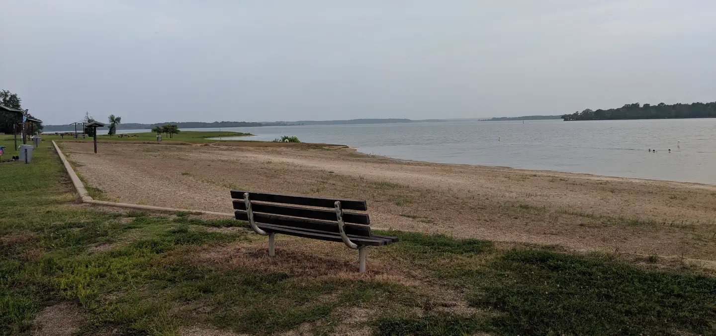
Building near a flood-control reservoir starts with elevations, not with concrete. Wright Patman Lake and the Sulphur River sit southwest of Texarkana, and the numbers the Corps of Engineers publishes tell a site engineer where water will be, how high it can climb and how long it can stay. For a landowner, a developer or a public works office planning slabs, culverts or pads on the lake side of town, our work begins by learning those elevations and letting them set the grade of everything we build.
The Corps says Wright Patman Dam is at river mile 44.5 on the Sulphur River about 9 miles southwest of Texarkana in Bowie and Cass counties, with a maximum height of 100 feet above the streambed and a length of 18,500 feet, about 3.5 miles. It lists a flood control pool of 2,509,000 acre-feet between elevations 227.5 and 259.5 feet above mean sea level, and a spillway crest at 259.5 feet covering 119,700 surface acres. The Corps adds that water is held back during floods and released only as downstream creeks and rivers can carry it.
The Texas Water Development Board says construction began on August 20, 1948, the gates were closed on June 27, 1956, and at conservation pool elevation 220.6 feet the lake covers 18,247 acres. Flood control is the primary purpose, and the lake also serves a water supply role for Texarkana. The Corps lists 77,300 acre-feet of conservation storage for municipal water supply and about 58,512 acres of managed fee land. A contractor reads that as a plain instruction: know the pool, know the fee land line and ask early who approves what.
Why the lake matters to a pad, a road or a pipe
The span between conservation pool at 220.6 feet and the spillway crest at 259.5 feet is almost 39 feet of vertical range. Land below the top of the flood pool is, in principle, land the lake may use during an extreme event. We do not decide where that line falls on a given parcel; a survey and the Corps do. What we do is use the elevations to set finished floor heights, drainage outfalls and pipe inverts that make sense for a site near the water.
The lake also shapes the local water supply and development. Because Wright Patman provides municipal water supply storage for Texarkana, growth around the city, from the downtown core out along the US 59 corridor, leans on the lake. That affects utility work: when we install water and sewer lines for a development on the lake side of the city, we plan around the same source and the same service area, and we coordinate with the municipal water provider. Our trade partners also respect the difference between conservation storage, which is meant to be used for supply, and flood storage, which is meant to be empty most of the time. A building pad that sits in the second kind of space needs a different conversation than one that sits above it.
Soft ground, high water tables and the shoreline
Ground close to a reservoir and its creeks is often wet. Clay soils hold water, and the water table rises after the lake does. We probe excavations for groundwater before we set forms, and where water shows, dewatering with sumps or well points keeps the work dry while concrete is placed and cured. A slab placed on a wet subgrade develops soft spots and surface defects that are expensive to fix.
Shorelines erode. Where a project touches a creek bank or a ditch that drains toward the lake, erosion control and SWPPP measures are part of the scope from day one: silt fence, check dams, stabilized entrances and rapid stabilization of bare slopes. We keep the inspection log and rainfall records that stormwater rules ask for.
Drainage structures and basins
Culverts, headwalls and detention basins are common in this area. We build culverts and headwalls with the pipe bedding, concrete, and riprap the engineer calls for, set to the invert elevations on the drawings and checked before backfill. Where a road or a drive crosses a ditch that leads to the lake, a headwall that is too high or too low causes erosion or backwater, so we survey it twice.
For drainage storage, we excavate and shape detention and retention ponds with compacted embankments, outlet structures and spillways. A pond near a floodplain needs careful grading and often an emergency overflow. We build to the engineer's design, test the compaction and leave the pond ready for seeding and stabilization.
Working on wet, soft and sloped ground
Reservoir-area sites combine slopes, mud and water. Excavations deeper than five feet need protective systems, and a soft bottom can lead to a cave-in that a dry bottom would not. We slope or shore trenches, keep spoil piles back from the edge, and keep ladders within reach. Access ramps get stone, and heavy equipment stays off soft ground until mats or stone are laid.
Weather monitoring is part of the safety plan. A heavy rain upstream can raise a creek quickly, so we move equipment out of low areas before storms and never leave a trench open overnight where water may rise.
What drives cost in lake-adjacent work
Three items drive cost near the lake: water control, subgrade repair and approvals. Water control includes pumps, sumps and sometimes well points. Subgrade repair includes undercutting soft clay and replacing it with stone or treated soil. Approvals include permits for work in or near floodplains or federal land, and may take weeks. We price all three as separate lines and carry unit prices for the parts that are hard to predict.
Owners with large tracts and simple needs, such as commercial developers, benefit most from early geotechnical work. Our page on Bowie and Cass county site conditions shows the clay profiles and rainfall that drive those costs.
Start with the elevations
Send the survey, the floodplain determination and any geotechnical report. We will set the work to the actual elevations and give you a scope with water control and drainage priced separately.
Common Questions
Does Wright Patman Lake make the whole area a floodplain?
No. The Corps publishes pool elevations, and the city and FEMA publish floodplain maps. Whether a parcel is inside any mapped area depends on its elevation and location, so get a survey and a floodplain determination before you design.
Do I need approval to work near federal land?
It depends on where the work is. The Corps manages about 58,512 acres of fee land at the lake, so ask the Corps and the county early if your site touches it or crosses a boundary.
How do you keep a slab dry in a wet year?
We design the subgrade to drain, use dewatering where the water table is high, sheet the base and refuse to pour on standing water.
What size culvert do I need?
That is an engineering decision based on the drainage area and the design storm. We install what the engineer specifies and offer suggestions on bedding and headwall details.
How soon can I start after a heavy rain?
When the ground can carry equipment and the excavation is free of standing water. In clay country that may take several days, and we adjust the schedule rather than force it.